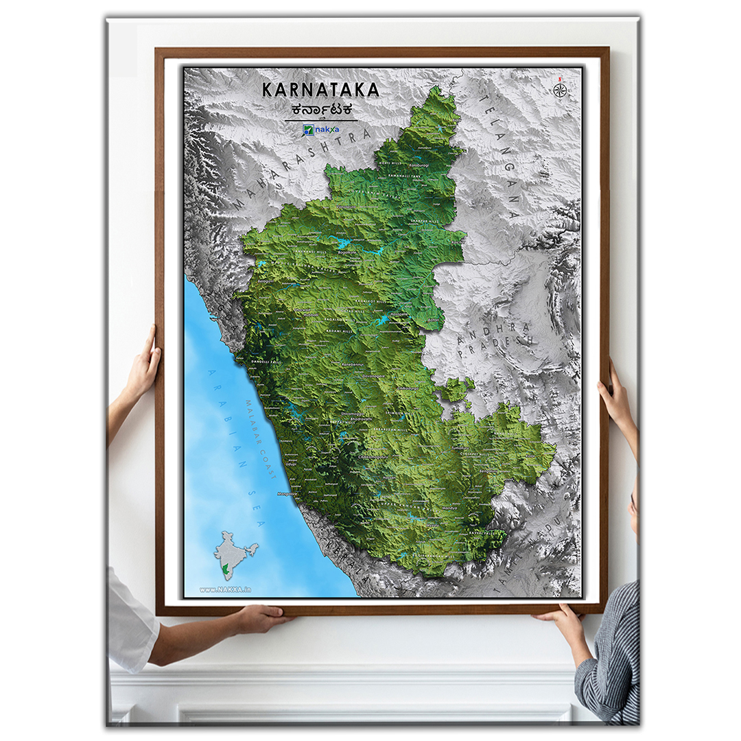
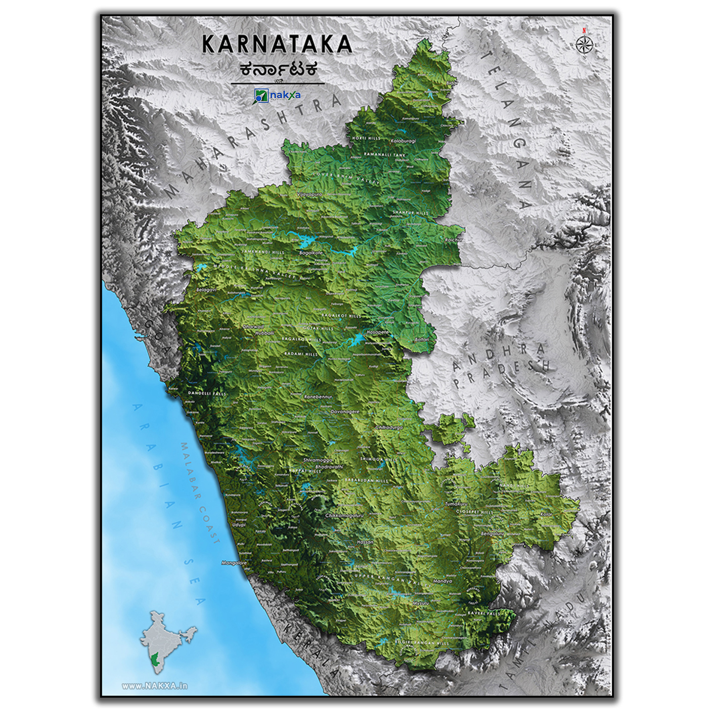
Introducing the premium Karnataka Relief Map – the perfect blend of art and functionality!
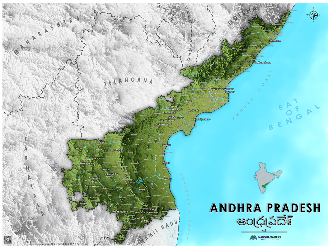
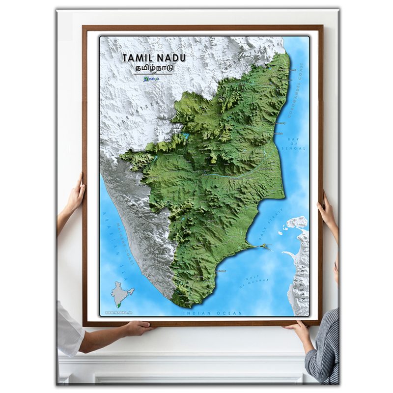
Featuring a modern and artistic design, this high-quality map showcases the terrain features of Karnataka in stunning detail. From the Western Ghats mountain range to the Deccan Plateau, this full-color map highlights the diverse landscape of the region. Major rivers such as the Cauvery, Tungabhadra, and Krishna are prominently displayed, as well as lakes such as the KRS Dam and the Almatti Dam. Prominent places like Bangalore, Mysore, and Mangalore are also marked, as well as major roads and highways.
This map is not only a beautiful decorative piece for any home or office, but it is also a useful tool for outdoor enthusiasts and travelers. With information on political boundaries and major cities and towns, you’ll have all the information you need to explore Karnataka to the fullest.
Don’t miss out on this unique addition to your map collection!
Print Size
Extra Large ( XL ) – 36Inch x 36Inch, Large ( L ) – 24Inch x 24Inch, Medium ( M ) – 18Inch x 18Inch, Small ( S ) – 12Inch x 12Inch
Yes, you can order a custom map. But the design charges and timelines will depend on the complexity of the Map to be designed. Kindly get in touch with us to discuss how we can prepare a custom-made map for you.
Do you offer a warranty for products misprinted or damaged in transit?
In the rare case your product was misprinted or damaged during shipping, reach out to us via our contact page and we will get a new print out as soon as possible. Be sure to send photographs of the full print, the damage, and the packing slip.
Can you create maps for any location in India?
Yes, we can create maps for any location in India. Simply provide us with the desired location and we will work with you to create a customized map.
How accurate are your maps?
Our maps are highly accurate, as we use the latest technology and data sources to create them. We also have a team of experienced cartographers who ensure that every map meets the highest standards of accuracy and quality.
What format will my map be in?
Your map will be provided in a Printed format with 3 materials as option – Canvas, Vinyl, Satin and in 3 print sizes – large (4Ft x 3Ft), Medium (3Ft x 2.5Ft), Small (2Ft x 1.5Ft)
Do you offer any discounts or promotions?
We occasionally offer discounts or promotions on our custom map services. Please contact us for current offers or to discuss any special pricing needs you may have
How long until I receive my order?
Each product is printed on demand so that you receive a brand new print instead of one that has been sitting on a shelf. Production times will vary, but orders will typically be shipped out within 2-5 business days with longer wait times occurring during the holiday season (November and December). During the holidays, there will be clearly advertised deadlines to ensure your product arrives on time.
Are the relief maps 3D printed?
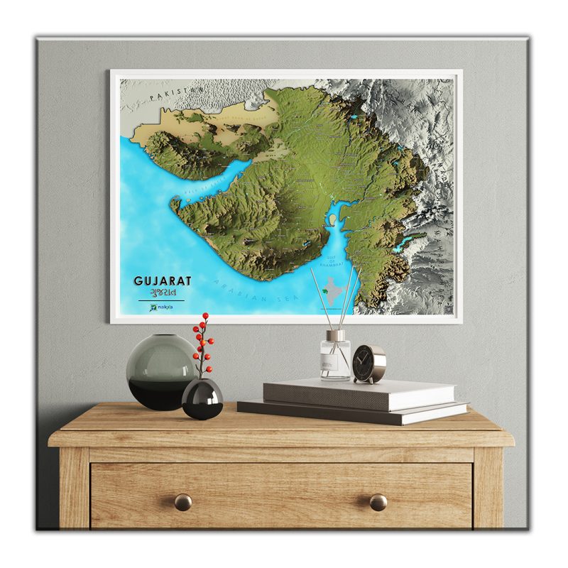
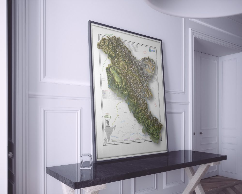
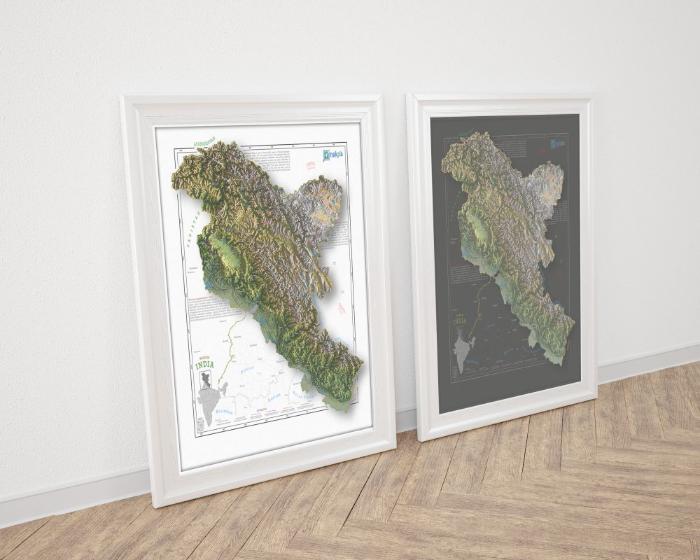
No – all of our maps are printed on high quality 2D media (e.g. 300 GSM Canvas, Vinyl, Satin) and thus are flat to the touch. The incredibly realistic shading creates the illusion of 3D art, even at close range.
Pulvinar in dictumst suspendisse ullamcorper cras cum urna eget nibh facilisi eu a vestibulum morbi porttitor platea metus vestibulum.Ante ullamcorper adipiscing.
Do you ship internationally?
Yes! We currently offer free shipping worldwide! To facilitate efficient delivery of international orders, we utilize partner facilities in the USA,EU and Australia. We are not responsible for any customs fees incurred upon delivery.
Where are the prints produced?
All orders are printed in India.
What shipping service do you use?
We primarily use Shiprocket and Bluedart for shipment of domestic orders. International orders are shipped using various services depending on the destination country. All orders are shipped with a tracking number.
What is your return policy?
We offer 2 weeks/ 15 days, no-hassle returns on all printed Maps. No questions asked, if you don’t like it just send it back to us.






Reviews
There are no reviews yet.